Archaeological Surveys of the Western Morava Lower Course
Name of the project:
Archaeological Surveys of the Western Morava Lower Course
Research leaders:
Marin Bugar (National museum of Kruševac), academician Vujadin Ivanišević (Institute of Archaeology)
Collaborators:
Dr. Ivan Bugarski, Dr. Milica Radišić, Dr. Uglješa Vojvodić, Dr. Vesna Bikić (Institute of Archaeology, Belgrade), MA Dimitrije Marković (Laboratory for Bioarchaeology, Faculty of Philosophy – University of Belgrade), Dejan Vučković (Center for nondestructive testing and geophysics Belgrade), Nikola Lazarević (Trstenik)
Institutions involved in the research process:
Institute of Archaeology, National Museum of Kruševac, Center for nondestructive testing and geophysics Belgrade
The three-year survey project has been conducted between 2018 and 2020, primarily aiming at the understanding of settlement patterns and resource use in the Western Morava region throughout different periods, and particularly during the Middle Ages.
From the prehistory until our days, the watercourse and riverine areas of the Western Morava have been major communication routes. Our activities were largely complementary to those accomplished within the Archaeological Surveys of the Southern Morava Lower Course project, realised in co-operation of the Institute of Archaeology and the Homeland Museum of Aleksinac.
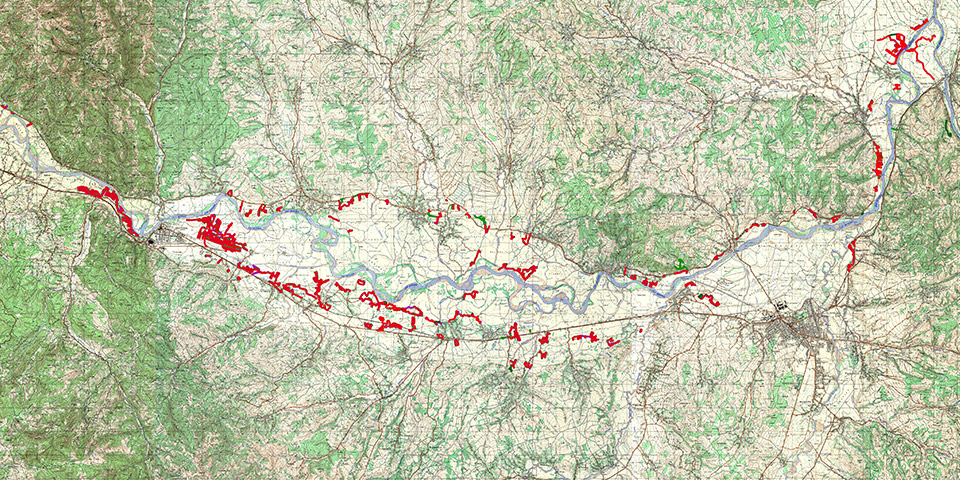
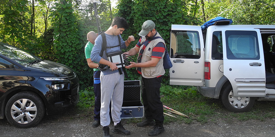
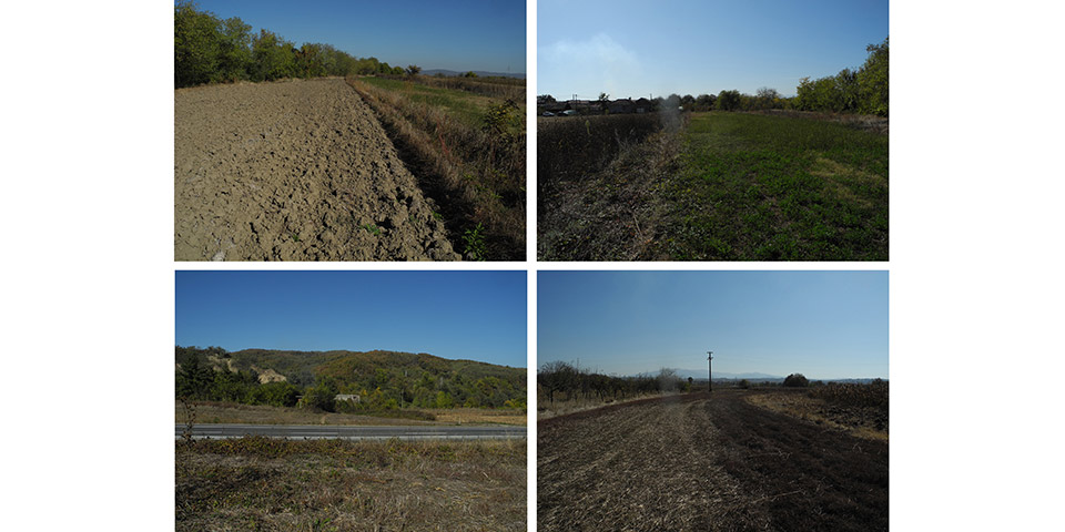
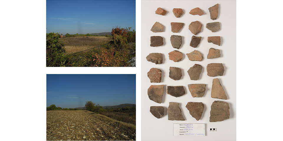
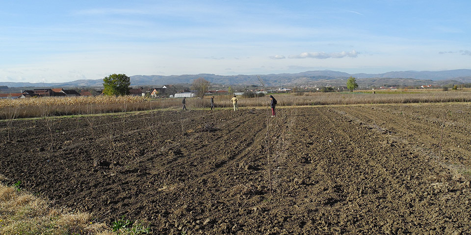
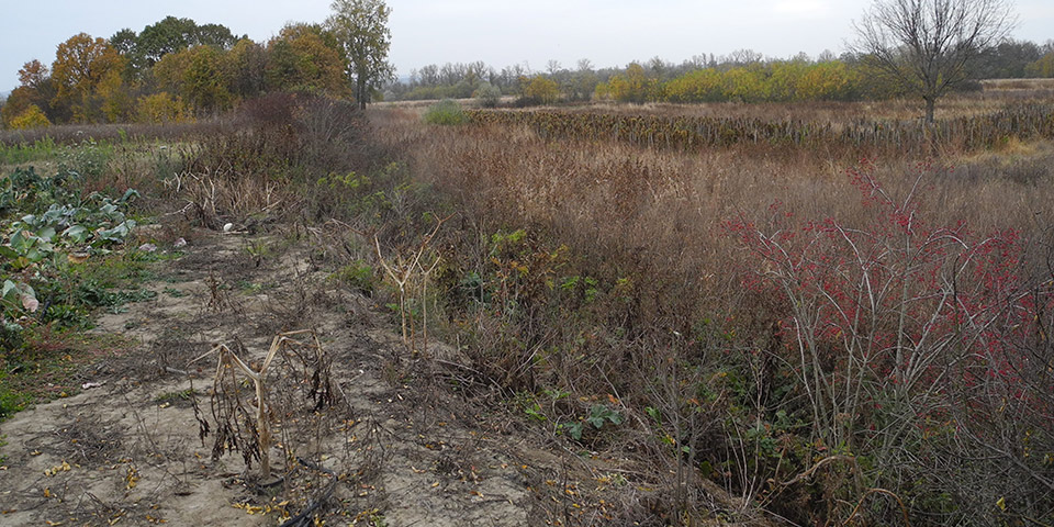
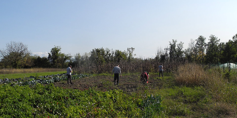
Two-week campaigns have been conducted in the riverine areas of the Trstenik, Kruševac, Varvarin, and Ćićevac municipalities. Together with their collaborator from the National Museum of Kruševac, members of the project team from the Institute of Archaeology, Belgrade, wished to acquire new data on past settlment in this area. The preparation for fieldwork included the gathering of relevant information from documentation and literature, and plotting the sites on the GIS. Respecting geomorphological criteria for settlement along the rivers, we have first surveyed locations spread along the contacts of river terraces and the flooded terrain, where, as a rule, no settlements could have been established. This has made our surveys more time efficient and less costly, with a comparatively small probability to omit some sites, while helpful information also came from locals. Both on meander banks and in wider areas along the river, we have mostly surveyed more or less walkable terrains, either ploughed or neglected. It was therefore hard to establish the size of the sites. Survey locations have been chosen depending on the previous knowledge, on-site topography analyses, and analyses of the topographical maps scaled at 1:25 000 and 1:50 000, Google Earth images and SRTM DEM. Aligned in GIS, these digital cartographic images were available for the team members on their tablet computers and smartphones, which enabled for an instant route correction towards the chosen location. The surveyors walked with a distance of 3 to 5 m between them; all the trajectories and surface finds have been recorded using three GPS receivers and extracted into GIS on a daily basis. In the areas with dense concentration of surface finds, the surveys have been repeated with increasing trajectory densities. All the sites have been documented in field journals and through photographs, including those which did not produce archaeological finds, and their topographical characteristics have been described, as well.
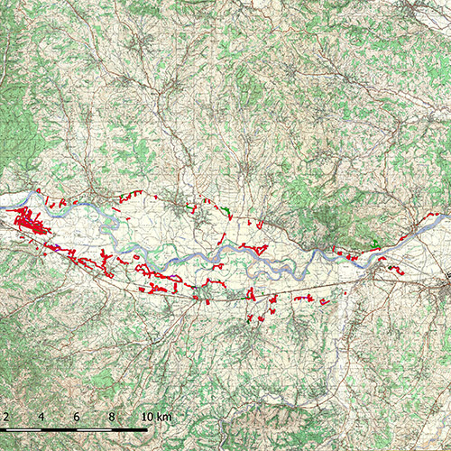
An important outcome of the project is that the numerous sites are precisely located, mainly bordering the flooded area. Multilayered open settlements string along these contact lines, dating from the late Prehistory, late Antiquity, Middle and Modern Ages. We have surveyed a total of 51 sites. Owing to the described method, as many as 33 localities have been identified for the first time, which greatly enriches the general archaeological map of the Western Morava lower course. Among them, those from the Middle Ages (10th to 12th centuries) stand out, which is a particularly interesting new piece of evidence.
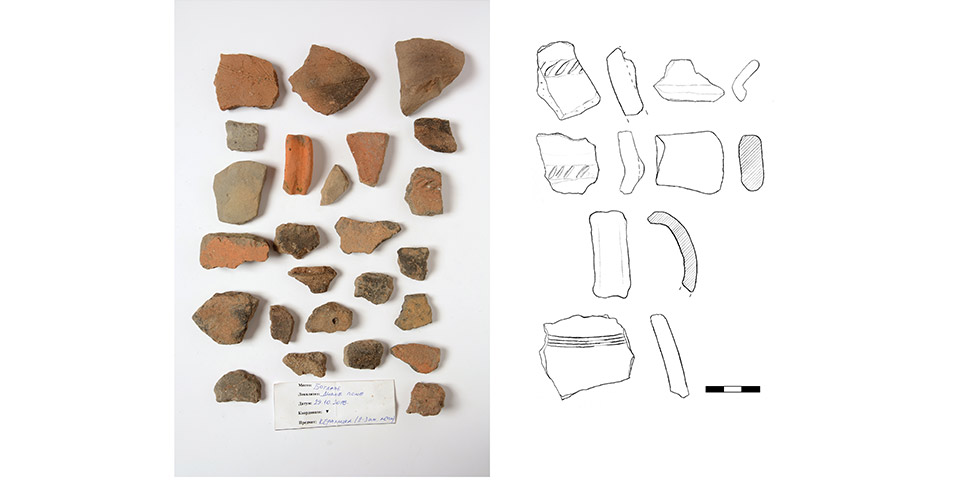
Within the project framework, geomagnetic surveys of two multi-layered sites (Žuti Brestovi by Stopanja and Trnovača by Stari Trstenik) have been performed, as well. After the fieldwork completed, finds were washed, dried and preliminary processed – described, photographed, drawn, and dated. The results were presented in detailed forms prescribed by the Ministry of Culture of the Republic of Serbia, which has enabled compiling mandatory reports and preliminary publications.
Selected Bibliography:
Bugar M., Bugarski I., Vojvodić U., Radišić M., Marković D. 2021. Arheološka prospekcija donjeg toka Zapadne Morave u 2018. godini: rezultati iz trsteničkog kraja, u: Arheologija u Srbiji: Projekti Arheološkog instituta u 2018. godini, ur. S. Vitezović, M. Radišić, Đ. Obradović, 205–217.
Bugar M., Bugarski I., Vojvodić U., Radišić M., Lazarević N. 2021. Arheološka prospekcija donjeg toka Zapadne Morave u 2019. godini: rezultati iz kruševačkog kraja, u Arheologija u Srbiji: Projekti Arheološkog instituta u 2019. godini, ur. S. Vitezović, M. Radišić, Đ. Obradović, Beograd 2021, 201–215.
Bugar M., Bugarski I., Vojvodić U., Radišić M., Lazarević N. 2023. Arheološka prospekcija donjeg toka Zapadne Morave u 2020. godini: rezultati iz varvarinskog i ćićevačkog kraja, u Arheologija u Srbiji: Projekti Arheološkog instituta u 2020. godini, ur. S. Vitezović, Đ. Obradović, M. Radišić, Beograd 2023, 153–168.
